

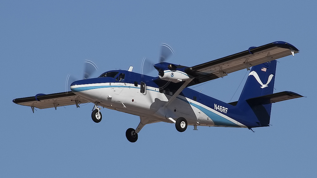
The National Oceanic and Atmospheric Administration (NOAA) has confirmed plans to conduct a low-altitude flight over the Potomac River using a fixed-wing aircraft equipped to locate smaller remaining debris from last week’s midair collision.
According to a news release emailed to AirlineGeeks by Unified Command Thursday evening, NOAA’s De Havilland DHC-6-300 Twin Otter aircraft, equipped with LiDAR scanning technology, was originally planned to begin flying at approximately 2 a.m. local time Friday to support Unified Command’s salvage efforts.
That flight was later cancelled due to weather conditions, and a rescheduled flight plan is in the works, Unified Command confirmed on Friday.
According to NOAA’s website, LiDAR – which stands for Light Detection and Ranging – is a remote sensing method that uses light from a pulsed laser to measure variable distances to the earth.
“Lidar systems allow scientists and mapping professionals to examine both natural and manmade environments with accuracy, precision, and flexibility,” the NOAA website stated. “NOAA scientists are using lidar to produce more accurate shoreline maps, make digital elevation models for use in geographic information systems, to assist in emergency response operations, and in many other applications.”
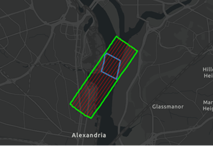
During the scan, the aircraft will project a visible green laser onto the water’s surface. The release stated that while the laser is safe for the eyes, individuals are advised to avoid direct eye contact.
Unified Command reported that the U.S. Army Corps of Engineers, Baltimore District, together with the U.S. Coast Guard and U.S. Navy’s Supervisor of Salvage Diving, have completed the removal of all major components of the PSA CRJ-700 and U.S. Army Black Hawk helicopter that crashed on Jan. 29.

The remains of all 67 crash victims have been recovered and identified as of Wednesday.
